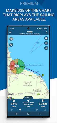
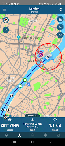
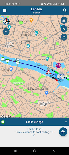
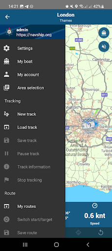
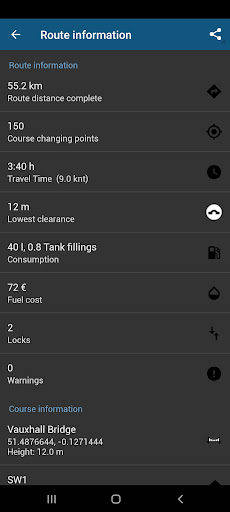
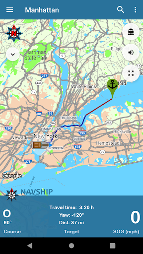
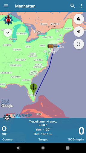
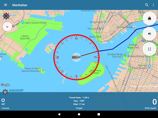
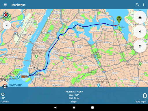
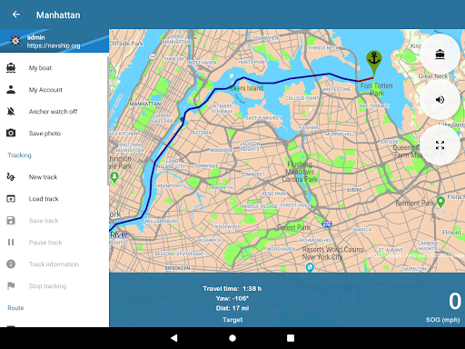
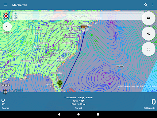
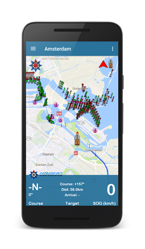
Added interactive map overview to area selection
Optimized layout for tablets
Added gpx export for routes
Added performance mode for devices with low RAM
Updated waterways
Optimized layout for tablets
Added gpx export for routes
Added performance mode for devices with low RAM
Updated waterways
Marker design updated
Added river mileage
App start speed increased
Loading bar integrated
Testperiod added
Support for android car play direction view added
Waterways updated
Marker design updated
Added river mileage
App start speed increased
Loading bar integrated
Testperiod added
Support for android car play direction view added
Waterways updated
Added river mileage
App start speed increased
Loading bar integrated
Testperiod added
Support for android car play direction view added
Waterways updated
Added river mileage
App start speed increased
Loading bar integrated
Testperiod added
Support for android car play direction view added
Waterways updated
App start speed increased
Loading bar integrated
Testperiod added
Support for android car play direction view added
Waterways updated
App start speed increased
Loading bar integrated
Testperiod added
Support for android car play direction view added
Waterways updated
Waterways updated
Minor bugfixes
Added new seamarks for the hd seamark layer
Waterways updated
Minor bugfixes
Added new seamarks for the hd seamark layer
Waterways updated
Added quick info section to menu
Menu font sizes adjusted
Improved menu design
Waterways updated
Added quick info section to menu
Menu font sizes adjusted
Improved menu design
HD seamark layer added
Voice output improved
Improved menu design
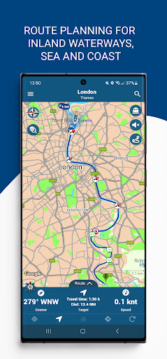
New route management system
Sharing routes via link to others
Integrated depth data for Germany
Waterways updated
Map layer extended
Improved UK and Ireland
Waterways updated
Displaying markers improved
New route planning system integrated, speed improvement
Improved UK and Ireland
Waterways updated
Displaying markers improved
New route planning system integrated, speed improvement
Waterways updated
Displaying markers improved
New route planning system integrated, speed improvement
Waterways updated
Displaying markers improved
New route planning system integrated, speed improvement
Waterways updated
Displaying markers improved
New route planning system integrated, speed improvement
Waterways updated
Displaying markers improved
New route planning system integrated, speed improvement
Waterways updated
Displaying markers improved
New route planning system integrated, speed improvement
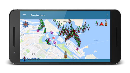
Display of markers and symbols throughout the driving area
Added setting to show markers only on the planned route
More marinas connected
Waterways updated
Display of markers and symbols throughout the driving area
Added setting to show markers only on the planned route
More marinas connected
Waterways updated
Weekly subscription added
Waterways updated
Locks corrected
Detailed rework of Scandinavian waters
Waterways updated
Locks corrected
Detailed rework of Scandinavian waters
Waterways updated
Locks corrected
Detailed rework of Scandinavian waters
Waterways updated
Locks corrected
Detailed rework of Scandinavian waters
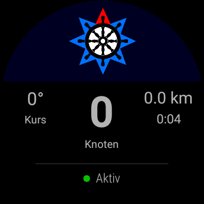
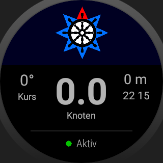
Updated Wear OS screen design
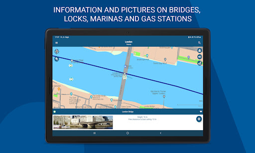
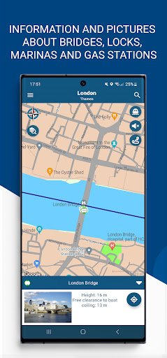
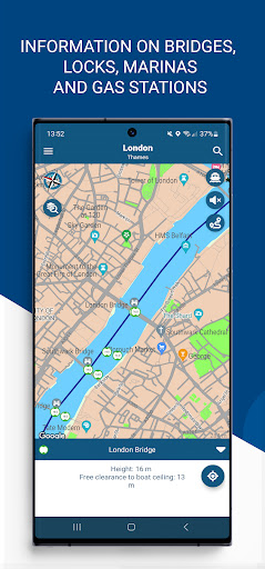
Images for bridges, marinas and locks
Updated app design
New icons and side menu design
General troubleshooting
Waterways updated
Updated design
New icons and side menu design
General troubleshooting
Waterways updated
Added berths
Added gas stations on water (Premium only)
More information about ports, slip ramps and bridges
Expand search function
Added berths
Added gas stations on water (Premium only)
More information about ports, slip ramps and bridges
Expand search function
App startup time decreased by 50%
Route calculation time decreased up to 90%
Show common and popular routes under "my routes" section in side menu
Waterway updates
Improved GPS accuracy (for recordings and own position)
Fixed screen rotation bug
Added fuel watch system
Routing algorithm improved
Traveled distance shown in grey
Waterways updated
Delete account in your account settings
Revision of the river data, river courses, re-recording of locks, integration of weirs, improvement of the areas for small water bodies
Password reset bug fixed
Waterways updated
Route quality improved
Added hints on weirs
General troubleshooting
Quick suggestions of harbors/slipramps/cities
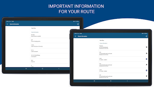
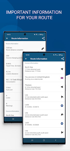
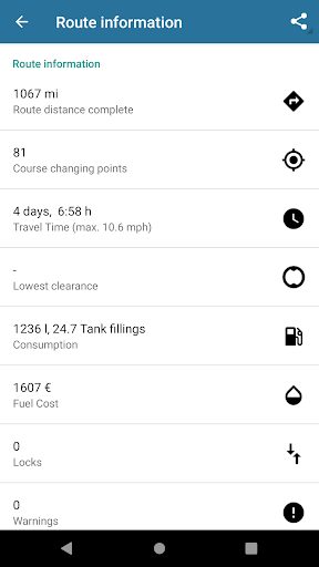
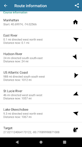
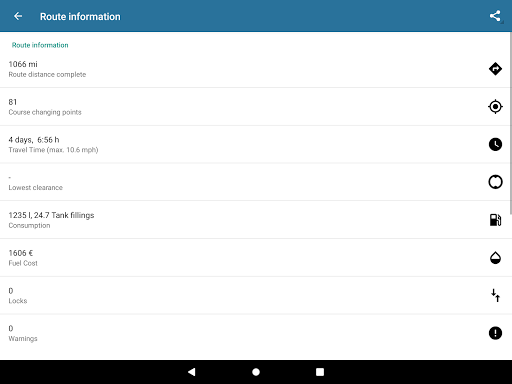
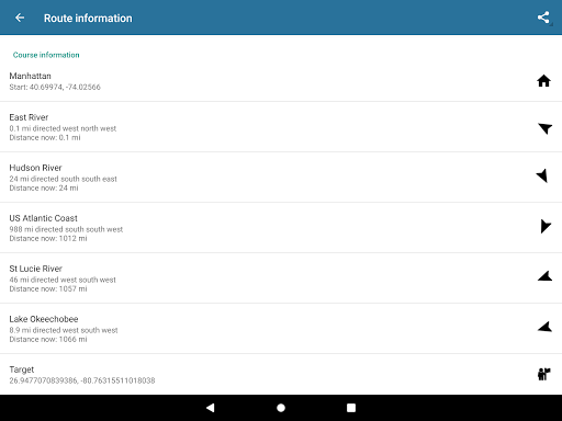
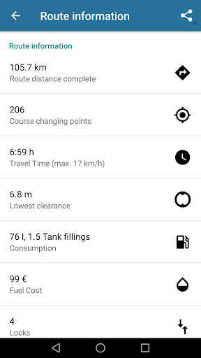
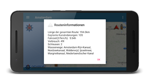
More route information
Reduced app loading and internet traffic
Offline map download support for Android 13+ devices
Visualize rivers on map
Waterways updated
Premium account management bugfixes
Added mileage visualization (enable at my boat section in drawer menu)
Waterways updated
Added slip ramps
Waterways updated
Waterway updates
Waterway updates
Baltic Sea fixed
Vector format installation fixed
Google Maps Bugfixes
Waterway updates
Google Maps Bugfixes
Waterway updates
Improved symbols on the route
Fixed a bug in the route planner algorithm on the high seas
Improvement of sending error messages to our servers
Revision of river courses and lock data in Europe
Revision of river courses and lock data in Europe
WearOS sync bugfixed
General overhaul of European inland and coastal waterways
Improvement of the NTS warning system and suggestion of alternative routes
Bugfixed location error
Revision of river courses and lock data in France, Belgium, the Netherlands and Germany
Bugfixed location error
Revision of river courses and lock data in France, Belgium, the Netherlands and Germany
Bugfixed location error
Revision of river courses and lock data in France, Belgium, the Netherlands and Germany
Bugfixed location error
Revision of river courses and lock data in France, Belgium, the Netherlands and Germany
Revision of river courses and lock data in France, Belgium, the Netherlands and Germany
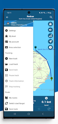
New menu design
Improved route overview of the next obstacles to unfold
Improved route planning in advance
Tablet optimization
Switching from digital speed display to speedometer
French canals updated, locks added
Updated waterways, especially Adria coast (Italy, Croatia), Venezian lagoon, lower waterways on Austrian, German and Hungarian Donau and Havel, channels in Central Netherlands.
Added auto fill suggestions to search
Updated waterways in the Netherlands
Added night mode
Fixed search
Added language changer to settings
Added auto fill suggestions to search
Updated waterways in the Netherlands
Added night mode
Fixed search
Added language changer to settings
Updated waterways
Common bugfixes resolved
Error in maritime data overlay fixed
Startup error on wind rose fixed
Updated waterways
Added custom departure time for route planning and NTS consideration.
Added new AIS settings: Bigger symbols and visualization of ship symbols.
Redesigned button position when in landscape mode.
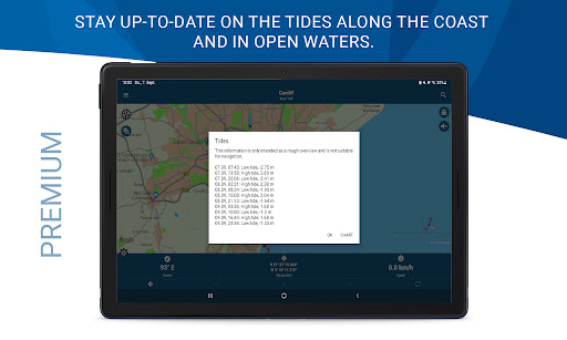
Added tide chart diagram for premium users.
Updated waterways.
Updated waterways, especially in Netherlands and Germany
Fixed wind rose center
Updated waterways, especially in Netherlands and Germany
Fixed wind rose center
Smaller rivers in Germany and France corrected
Marrekrite berths added (please activate in the app settings)
Waterways updated (especially in USA, Spree, Havel and Dahme)
Locks and buoys updated
Account registration added to account menu entry
Account login for premium import added
Design adjustments
Waterway updates
Consumption dependant of river flow speed
Added waterways
AIS bugfixed
Consumption dependant of river flow speed
Added waterways
AIS bugfixed
Added speed limits to route travel time
Added side menu entry for privacy policy
New menu entry to swap start and finish
Currents in bodies of water are taken into account if it has been activated in the app settings (currently only for Rhine, Main, Neckar, Mosel, Waal, Lek, IJssel, Maas, Odra, Weser, Elbe, Lahn, Danube and Ems)
The app warns when the current of a river is greater than the maximum speed of the boat
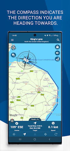
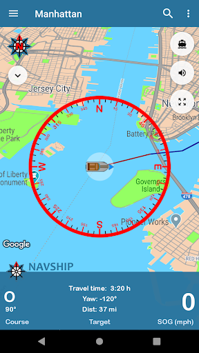
Added new compass image
Updated translations
Added sunset and sunrise time
Added side menu entry for privacy policy
New menu entry to swap start and finish
Currents in bodies of water are taken into account if it has been activated in the app settings (currently only for Rhine, Main, Neckar, Mosel, Waal, Lek, IJssel, Maas, Odra, Weser, Elbe, Lahn, Danube and Ems)
The app warns when the current of a river is greater than the maximum speed of the boat
Added new compass image
Updated translations
Updated waterways
Updated waterways
Added track import system for my.navship.org
Waterways bugfixed
Added track import system for my.navship.org
Waterways bugfixed
Improved offline mode
Added boat width support
Added dark mode support
Added first vector map support (beta phase)
Bugfixes
Improved Android 10 support
Fixed AIS Settings
Improved offline mode
Added boat width support
Added dark mode support
Added first vector map support (beta phase)
Bugfixes
Improved Android 10 support
Fixed AIS Settings
Updated waterways
Added russian translations
Added belarusian waterways
Improved routing system
Added boat type support
Setting for inaccessible areas for motor boats / sail boats
Support UDP for AIS networking
Added waterways and locks in France
New info boxes for gas stations, marinas, bridges and locks
Added boat type support
Setting for inaccessible areas for motor boats / sail boats
Added info view box for navigation information
Added notification when recording a track
Improved offline mode
Added info view box for navigation information
Added notification when recording a track
Improved offline mode
Added info view box for navigation information
Added notification when recording a track
Improved offline mode
Added marinas
Rhine, added ports
Clustering of symbols
Better performance
Quicker App Start
Distance display,
Offline search,
Flight mode detection,
Support for electric drives,
Display of the current waterway
Additional bridge information
New lock symbol
New recorded tracks overview
Routing lines dotted
Screen always on when routing
Design updates
Waterway updates
Design updates
Waterway updates
Updated waterways and bridge heights
Added route warning before calculating first route
Added beta depth data (test mode)
Updated waterways and bridge heights
Added route warning before calculating first route
Added beta depth data (test mode)
Updated waterways and bridge heights
Added route warning before calculating first route
Added beta depth data (test mode)
Bugfixes and external GPS Support added
AIS log added
Added missing locks and waterways
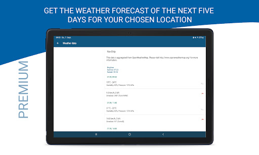
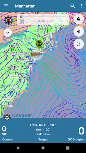
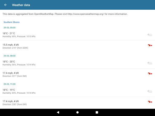
Added wind forecast
Added Polish
Bugfixes and waterway updates
Added danish
Bugfixes
Added Canal de Saint-Quentin
Track loading without continuing possible now
Bugfixes and waterway updates
Added translations: Spanish, Swedish, Norwegian, Danish, Russian and Romanian
Bugfixes and waterway updates
Updated Waterways
Fixed Anchor Drift Metrics
Added and corrected waterways
Added russian waterways
Added better AIS support
Added AIS support (beta)
Bugfixes and waterway updates
Bugfixes for wearable device connections
Added waterways
Added SD Card support for offline maps
Added Wear OS Support
New functionality for offline maps. It is recommended, that you remove all your offline maps from the offline maps overview menu and download them again. This will enable the new structure.
Waterways added and improved
Interface Bugfixes
Mayor Bugfixes
Added Florida - Cape Coral and smaller Waters in Europe
Added Info on first startup
Added imperial system choice on "My Boat" section
Added Waterways in United Kingdom
Updated waterways
Added home port selection
Bugfix for Android 9 Users
Added speech assistance
Added Notices to Skippers (NtS) for more safety on your route. Currently available in Germany, Austria and the Netherlands.
Removed SMS Permission
New permission interface
New adaptive icon
Bugfixes
New Route Import System for boatrouting.com
Bugfixes, added warnings and alternative routes on some waterways
Area-Overview added to map
Bugfixes
New waterways added
Area-Overview added to map
Bugfixes
New waterways added
Bugfixes
Added new monthly billing model
Added missing waterways and locks
Send SMS on Anchor Alert
Tablets now compatible again
Added missing waterways and locks
Send SMS on Anchor Alert
Added new waterways
Repaired Arrival Time
Added new waterways
Added new waterways
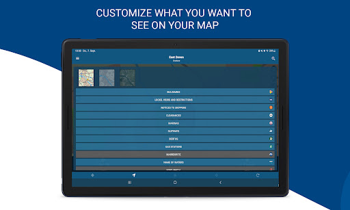
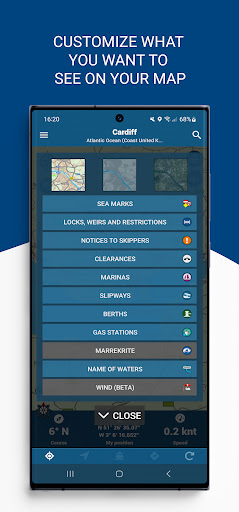
Bugfixes and added Layer Menu.
Route calculating starts now after clicking on button.
Bugfixes and added Layer Menu.
Route calculating starts now after clicking on button.
Bugfixed routes
New functionality under "my boat". You can now set distance circles around your boat.Added firebase analytics to app. You can deactivate it via settings menu.
Bugfixes and added several new waterwaysAdded one way waterway routing
Bugfixes and added several new waterways
Bugfixes and added several new waterways
Bugfixes and added several new waterways
Added new map designs. You can change in the app settings menu.Repaired Havel / Oder-Havel-Channel.Added voucher codes to oremium section.Moved satellite view to options section of map area.
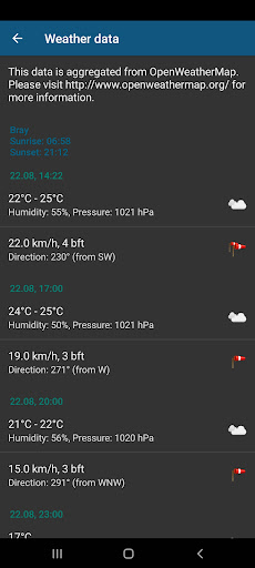
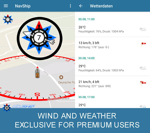
Added weather and wind dataAdded water level (Germany)Bugfix at startupCorrected rivers and channels in Berlin and Netherlands
Bugfixed island routing and added Shannon and Liffey / Irish Coast
Bugfixed bearing and heading
Added speed limits (beta phase)Corrected and added waterwaysAdded display tilt settingFixed Arrival Time BugReconstruced Lake Constance and CroatiaSetting custom markers in greater lakes and the sea (25 km in coastal area)
Added speed limits (beta phase)Corrected and added waterwaysAdded display tilt settingAbility to route via custom points in greater seas and oceans
Added speed limits (beta phase)Corrected and added waterwaysAdded display tilt setting

 Samsung Galaxy Note 8


